Driving Up The Land Of Jade Mist – Palomar Mountain
on
Get link
Facebook
X
Pinterest
Email
Other Apps
Palomar Mountain is just barely over an hour from our house in Temecula, California. This is about our adventure on Mount Palomar today.
I had actually applied through the California Institute of Technology to work at the Hale Observatory two years ago when we were about to move here from the suburbs of Chicago. The job would have consisted of building and installing electronic or robotic instruments on the 200-inch Hale telescope. That would have been a dream job for me if I had gotten it. Alas, it was not to be.
Still, I have wanted to visit the historic Hale Observatory since we moved to California. Today was finally the day. I consider it one of my birthday presents.
First, one must consider the weather when driving over 5,000 feet up a mountain. If it is cold and rainy when you’re in the lowlands, it will be a lot colder and possibly snowy or icy up on Palomar Mountain. The Observatory may well be closed, and the roads are steep, very tightly-curving, and potentially snowy or icy. There is an information phone number listed on the visitors’ web page that you can call for recorded closure and weather warnings, if any.
Additionally, there are no fuel stations up on the mountain. One should head up with a full tank when visiting.
The Observatory itself is kept at the night-time temperature at a 5,000-foot-plus elevation. Currently, that’s about 39 degrees Fahrenheit. A decent coat is in order.
Also, the Observatory, gift shop, and grounds close promptly at 3:00 PM PST, or 4:00 PM PDT, depending on the time of year.
Once we ascertained that there were no weather warnings, we set off on our adventure.
First, we drove South out of Temecula along I-15 South-bound, which is a route we are quite familiar with by now. We turned off at California Highway 76, but instead of turning West toward the ocean as we often have, we turned East toward Palomar Mountain.
CA HWY 76 can be a bit curvy itself, with some grade to it. The highway goes through both the Pala and Pauma Native American reservations, and passes several plant nurseries and citrus groves. The scenery is very rustic, winding through a long valley on this stretch. You will also pass an old-style Spanish mission church along the way.
At County Highway S-6, you have to veer left to head up Palomar Mountain. The scenery becomes even more rustic, and has a couple more plant nurseries and the like. As you near Mt. Palomar, you enter the La Jolla Native American reservation.
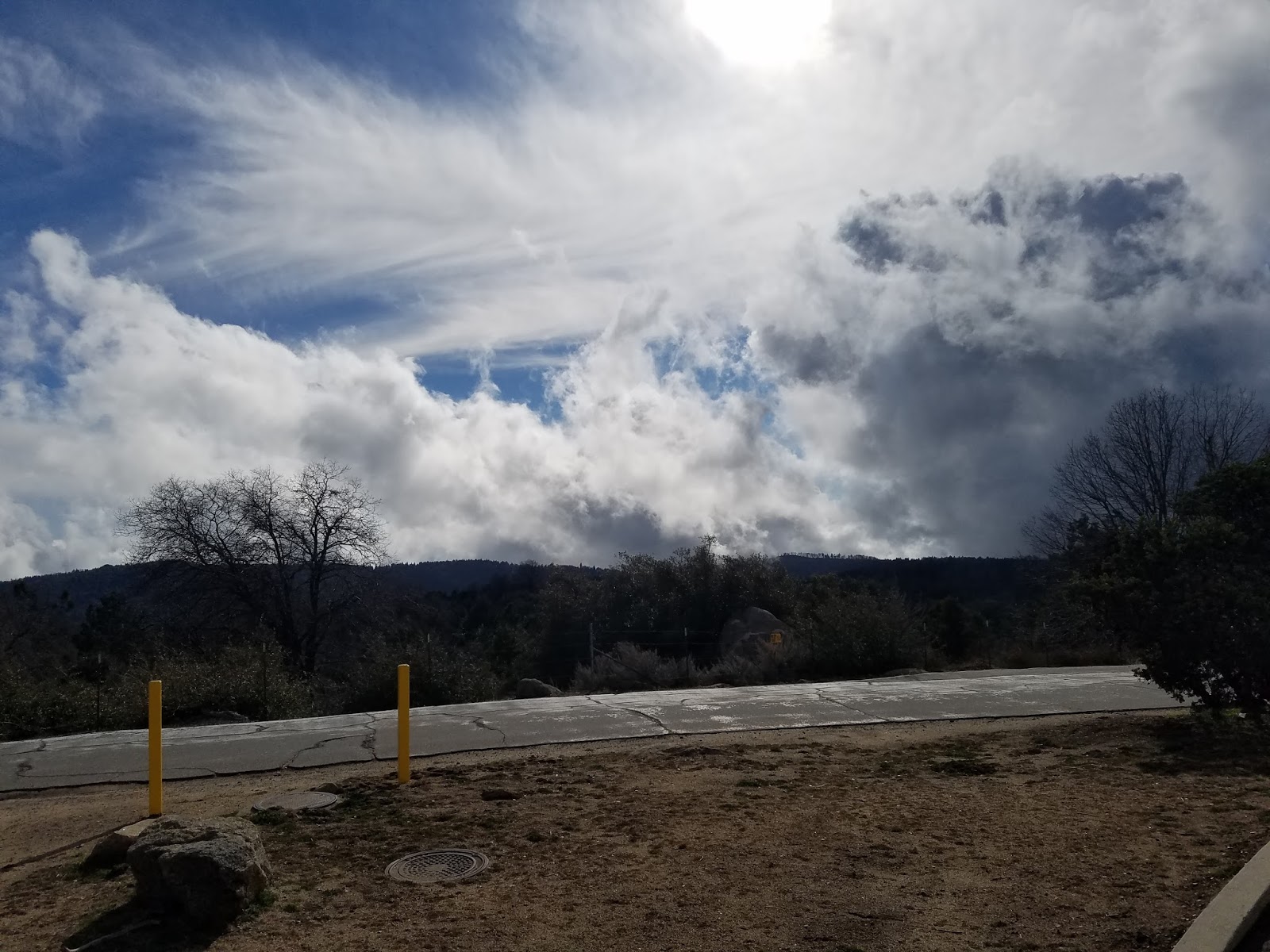
Today, our scenery is benefiting from an extremely-rare month-and-a-half of good rains followed by almost two weeks of sunshine. The mountains, usually a golden brown, are now a vibrant and lush green. The citrus groves are loaded with fruit, some falling to the ground. The weather is brilliantly-sunny, but with multitudinous banks of clouds overcasting some areas wrapping around the mountains. Several mountain-tops are piercing the low-lying clouds, hidden from view.
View back up Palomar Mountain with clouds clinging to its side.
As we drove up Mount Palomar, the trees began to shift from palms to pine, cedar, and I think elms. The trees tend to come together over the two-lane snake of a highway we’re climbing at twenty to thirty five miles per hour, a steep grade. We drove through tree tunnels, lined with steep banks of green, mossy stones. There were some type of sage-green-to-jade-green plants covering much of the ground. Also, in some more open areas, there was some type of plant out of its season, fallen over and a deep orange-red like the Autumn colors of the Midwest.
Close-up of clouds hugging the mountain.
Then we started driving into the clouds, adding a light misty fog to our drive. It became quite mystical. To me, it became a land of jade and fire and mist, with a very spiritual feeling to it.
We passed the turn-off to Palomar Mountain State Park on the way up to the Observatory, but it was nearing two o’clock, and the Observatory would close in an hour. We kept driving the last five miles to the Observatory, up more jade, fire, and mist hills. It was magical. My wife commented that it felt like we were in an episode of Supernatural.
Along the way, we passed a sign stating that we were entering private property owned by the California Institute of Technology. Arriving at the yellow-painted gates of the Observatory, there was a sign clearly stating that the gates closed promptly at 3:00 PM. It was now 2:05 PM. There was no time to waste.
The parking lot is small, maybe fifty car spaces, with a picnic area and tables just North of it. This was clearly evidence of its old-school Americana resemblance to a State park or government facility. Since the Hale Telescope completed construction in 1948, and was the largest telescope on the planet from then until the BTA-6 telescope was completed in 1976, and the world’s second-largest until the Hawaii Keck-1 telescope in 1993, that should be no surprise.
The Hale was the Grand Dame of astronomy for nearly thirty years. You can feel the sense of history and cosmic connection on its grounds. Still, you can easily see the scope and gift shop in forty five minutes, if you don’t read all the plaques and signs. This is why I took pictures, so that I could read those later. I didn’t get the ones in the gift shop, but I needed to leave something for a future visit.
70 steps up. Mens’ and womens’ restrooms are halfway up, across from the wooden door you see here.
Since the walk up to the visitors’ gallery in the telescope dome requires climbing seventy steps except at two times of the day when there is someone available to run the very small elevator, my wife decided to spend her time in the gift shop. Her knee wasn’t up to it this visit. I was not going to let anything stop me from seeing the Hale, not even that I’m still recovering from a torn ligament in my right knee. I took my time and went slowly, but made it all the way up to the gallery. I will let you tour that part in pictures rather than words.
Click on any of the images below to view them full-size.
Walking the path up to Hale.
Closer but still a couple hundred yards out.
Catwalk around the outside of Hale to service dome wheels.
50 yards from Hale.
Wheel trucks that rotate the Hale dome - see-through panel allows you to see one of them.
Hale with pedestrians from 25 yards away.
Telescope technician's work area. Hale uses electronic instruments.
Telescope aperture at top of Hale dome.
Different view of technician's work area.
Better view of telescope with aperture.
Aperture in focus.
Telescope - 200" reflector
Stairs to the business / instrument attachment end of the telescope.
Technicians' work area.
Telescope-level vistors' observation deck and seating area inside Hale dome, top of stairs.
Statue of Hale.
70 steps up.
Gift shop
Enormous pine next to gift shop
I also stopped at the gift shop on the way out. I picked up a couple
of tee shirts and a patch, and Saren got two refrigerator magnets and a
visitors’ self-guided walking tour.
On the way back down, we stopped at the State Park briefly, and then
went to Mother’s Kitchen restaurant. Mother’s is a vegetarian restaurant
that has been up on Mount Palomar for forty years. It’s amazing, and
their apple pie is like my Nonni used to bake when I was a little boy.
The red pozole soup is incredible.
Mother’s Kitchen
Saren at Mother’s.
Inside Mother’s.
Apple OMG To-Die-For pie!
Red Pozole soup is amazing, and no, not spicy hot.
View out the back windows at Mother’s. There was steam coming off the trunks of the cedars.
Mount Palomar Post Office.
After that, we drove back down the mountain and headed home along CA
HWY 76 straight into Temecula, rather than driving I-15. It’s a very
Jan-and-Dean kind of road, but a cakewalk after S-6 going up Mount
Palomar.
We stopped at one of the turnouts for pictures on the way back down.
Needless to say, I didn’t touch the gas pedal until we were well-along
CA-76.
Plaques & displays in Visitors’ Gallery:
Views from the turn-out:
East
North
Southwest
South
West
West
Mountain path going down the West slope
West
Back up mountain with clouds
Zoom on clouds
I strongly recommend seeing this in-person, even if the pictures are
good. They don’t truly convey the scale, depth, and richness of the
actual experience.


Comments
Post a Comment